vgiReports

Abstract
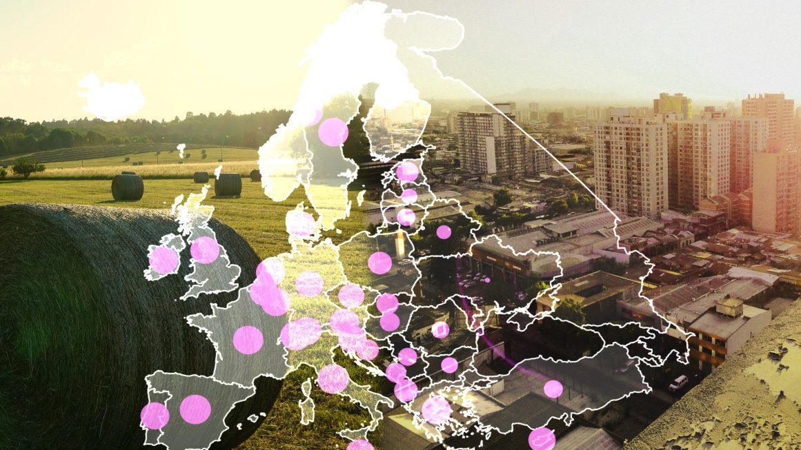
Following the idea that a public good should also serve the public, it is our goal to make volunteered geographic data and derived analysis results accessible for a wide audience. Since data descriptions need to be particularly self-explaining as well as expressive for a wide applicability, textual description and visualizations will complement each other. Text provides self-contained explanations while visualization adds information-rich representations that can be perceived and processed quickly by users. However, geographic data is often complex especially if it has both a spatial as well as a temporal component. Resulting challenges for analysis and presentation of the data are, for instance, to identify the right subset of information and results, to integrate various levels of data abstraction, and to make the underlying algorithmic data analysis transparent and trustable. Previous research on geographic data, including various visual analytics systems, mostly focused on professional and expert users. In contrast, the goal of the proposed project is to research understandable and self-explaining representations of spatiotemporal geographic information.
We plan to investigate fundamental methods to represent the data as well as research questions related to application and user acceptance. Expert-authored sample reports will form a basis to study how humans abstract, describe, and, illustrate complex spatiotemporal patterns for accessible reporting. Combining natural language generation and geographic visualization techniques, we will automatically create reports following these examples. Interactive refinement will allow users to personalize the reports according to their preferences and to explore the data from their perspective. Different types of spatiotemporal data – for instance, geo-referenced documents, movement trajectories, or networks – require the development of new summarization and reporting techniques. Based on these techniques, our approach is applicable to various application areas including city life, transportation, environmental scenarios, and emergency situations. We plan to build example systems for several of these application areas together with experts from the respective fields. Evaluating these demonstrators in user studies will provide insights what are the criteria for acceptance of such data-rich interactive reports by users from the general public and decision makers.