News
Fri, 13. Apr. 2018 Beck, Fabian
PacificVis 2018 Honorable Mention Award
City in Motion – Visualization approach for processing of vehicle movement data awarded at PacificVis 2018 conference
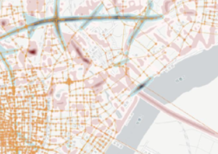
How do vehicles move through a city? This question is not only of interest for urban planners, but also for owners of vehicle fleets, emergency and security agencies, or general companies. Taxis and other fleet vehicles nowadays record large quantities of movement data via GPS. A requirement for further analysis is usually that the GPS measurements are mapped to a route through the road network. But the measurement underlies uncertainties and the sample rate might be low. Automatic procedures - called map matching - try to compensate uncertainties and assign a specific route. However, these algorithms are complex to configure and need to be tailored to recording characteristics and local specifics of the city.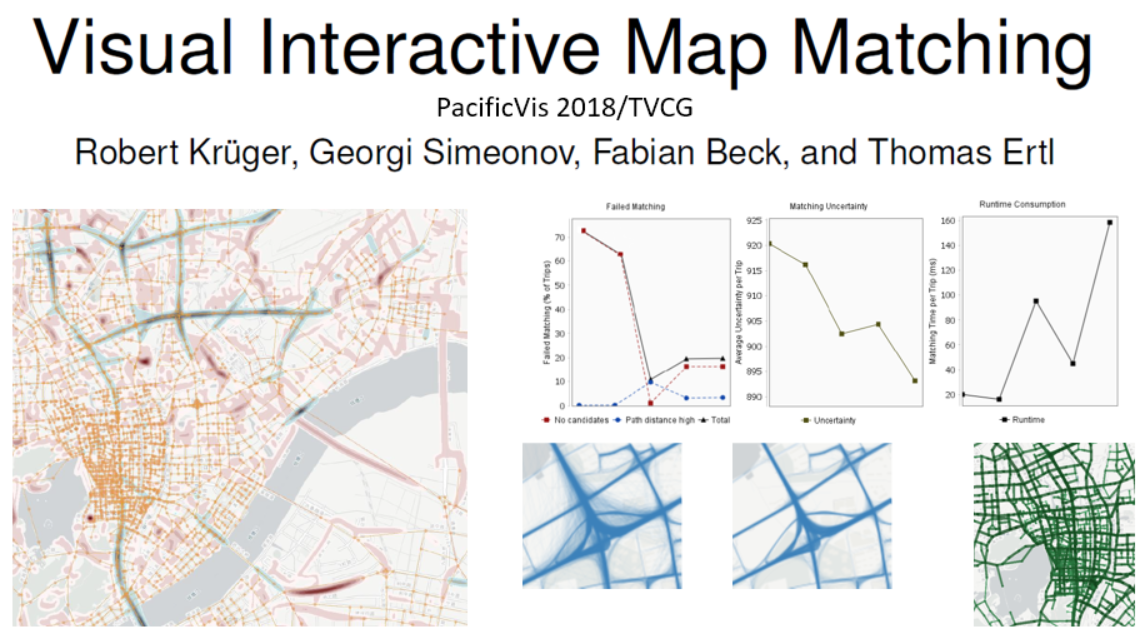 In a joint project with University of Stuttgart, we developed an approach to simplify the configuration of a map matching algorithm and to make it more user-friendly. We employ various visualization techniques to reveal errors in the matching process and to suggest automatic improvements of the configuration. Our paper that describes the approach was accepted at the international visualization conference PacificVis for publication and presentation. As one of the best contributions of the conference, our paper has been selected for direct publication in the renown journal IEEE Transactions on Visualization and Computer Graphics and received an "Honorable Mention Award". Learn more about the publication. [article published January 24, 2018 and updated April 13, 2018]